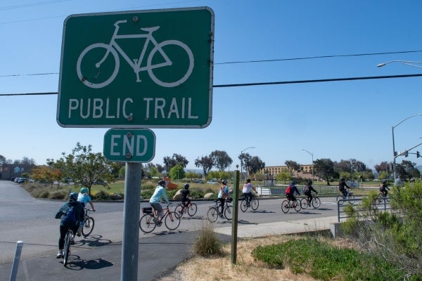
AI Bike Map and Wayfinding Project

Project funding
- $480,000 - Sustainable Transportation Planning Grant – Sustainable Communities
Status
- OutreachCOMPLETE
- ClassificationCOMPLETE
- AI TrainingCOMPLETE
- ReviewWE ARE HERE
- Wayfinding PlanFALL 2026
- Regional Bike MapSPRING 2027
- Final ReportSUMMER 2027
Project Description
The Santa Barbara County Association of Governments (SBCAG) was awarded a Caltrans Planning Grant for a project to “train” artificial intelligence (AI) using data from OpenStreetMap.org and Google Street View to consistently rank bike routes using human input. The result will be an easily updated, user‑friendly bike map. Additionally, the project will create a regional wayfinding plan, adaptable to AI findings.
In collaboration with UC Santa Barbara and Simon Fraser University, SBCAG is partnering with DKS Associates, with Toole Design serving as a key subcontractor, to develop the countywide bike map, translate AI outputs into a connected routes network, and produce a comprehensive wayfinding plan for the region. Together, these partners are shaping the future of cyclist safety, improved access to bike infrastructure, and adoption of eco‑friendly transportation across Santa Barbara County.
Public Participation
Public Review
A draft map showing bicycling infrastructure and comfort levels for the Santa Barbara pilot area is available for review! Future versions will include the full county. The map combines OpenStreetMap infrastructure data, Replica traffic data, and a machine learning classifier trained using Street View and map review at approximately 1,500 sampled locations across Santa Barbara County. Explore the draft map below and share comments for the areas you know well.
Project FAQ
View Questions and Answers
What is the purpose of the AI Bike Mapping and Wayfinding Project?
- The latest bike map for Santa Barbara County is outdated from 2013. Since that map was published, new bike infrastructure has been built throughout the county. The project will provide an updated map with a better and more consistent comfort classification system for all bike routes in Santa Barbara County. The project will encourage bicyclists of all levels to ride more and find the best routes for their needs.
Who is responsible for the AI Bike Mapping and Wayfinding Project?
- The Santa Barbara County Association of Governments is collaborating with UC Santa Barbara and Simon Fraser University to complete the project.
How much funding has the AI Bike Mapping and Wayfinding Project received?
- The AI Bike Mapping and Wayfinding Project has $542,189 in funding with $480,000 from Caltrans and $62,189 coming from local matches.
When will the project be complete?
- The project is expected to be completed by June 2027.
How is this bike map different from previous ones?
- This bike map will use artificial intelligence to ensure all routes are consistently classified based on infrastructure, traffic volumes, and vehicle speeds, as determined by the Ad Hoc Working Group. Bicyclists will be able to more accurately plan out comfortable biking routes. Community input is critical to this project.
What is the Ad Hoc Working Group
- The Ad Hoc Working Group is a group of up to 12 community members in Santa Barbara County with varying levels of biking experience. The group determined how roads are classified by guiding researchers on how to train the AI model. After the model is trained, the group will review the AI’s classifications and provide feedback to researchers. The Ad Hoc Working Group will consist of diverse individuals with varying geographical and cultural identities.
Resources
- Santa Barbara County Active Transportation Dashboard
- SBCAG Technical Transportation Advisory Committee Helps Define Comfort Classification (Nov. 6, Item 5B)
- Current Regional Bike Map at SBCAG.org/bike
- California Association of Councils of Governments (CALCOG) Summer School: Innovating with AI in Transportation: Session 2 – How Regional Governments Are Leveraging AI Tools to Improve Efficiency Using AI to map bikeways in Santa Barbara, California
- Peer-reviewed publication by Ferster, C., Nelson, T., Manaugh, K., Beairsto, J., Laberee, K., & Winters, M. (2023). Developing a national dataset of bicycle infrastructure for Canada using open data sources. Environment and Planning B: Urban Analytics and City Science, 50(9), 2543-2559. (Original work published 2023)
- Map of Canada’s Bicycle Infrastructure Comfort System
- Bikemaps.org Website – A crowdsourced tool for global mapping of cycling safety